
The Sarstoon: Belize’s Southern Border
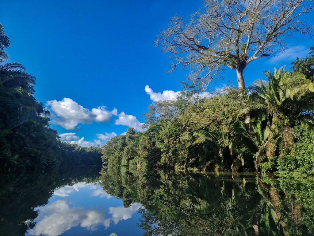
Some places in the world are predestined to be interacted with in a particular way, simply by virtue of their geography; inherent to their character are the ways in which people might use them, determined by its altitude, temperature, canopy, or precipitation. In these cases, it is the land that shapes human action. Then known by another name, this seems to have once been true of the river we now call ‘Sarstoon’. This magnificent, meandering artery was used to bypass difficult journeys through the low-lying waterlogged surrounds, bringing goods unhindered to villages and cities alike, a route for the flow of produce, artefacts, and people between the coastal Yucatan, Honduras, and the Highlands of Mesoamerica.
But this has changed. Over time the identity of the river has shifted alongside the hardening logic of borders and territorial claims. Gradually it ceased to function primarily as a route of connection and instead became emblematic of separation and sovereignty. What is so fascinating about the Sarstoon River today, before it is ever necessary to set eyes upon it, is the power it appears to hold in the imagination of the Belizean population and it now derives this power not from its geography, not for the connection it creates between people, but instead from its position in the collective imagination of geopolitical borders.
When mentioned in conversation, the Sarstoon elicits the dry humour reserved for distant danger. Fearful tales are not restricted to standing armies, though they claim their rightful place, but contain illegal loggers in the dead of night, cruel cartel members concealed within the jungle, and the plight of rangers who resist the degradation of a globally important ecosystem. The Sarstoon River is elevated by these tales told from afar; it is a feature that has become symbolic of conflict and criminality, in some circles rising almost toward the mythical, and tinged with a hint of the dystopian. The humour pales into shock when we indicate a genuine desire to investigate these tales for ourselves. It was with these considerations in mind that we embarked on our exploration of Belize’s southern border.
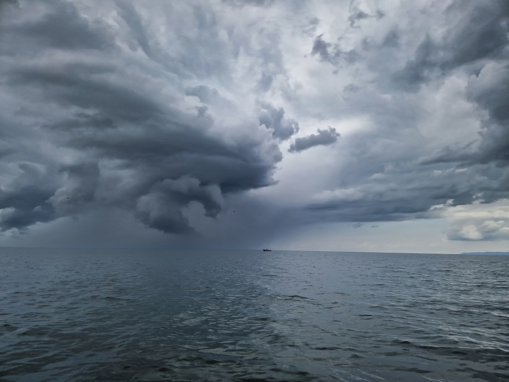
Dark grey clouds gathered rapidly over the ocean as we rowed south, tracing the line of the coast. In the distance, beyond the vast Guatemalan mountains, dense curtains of rain fell, appearing almost solid against the horizon. The sea was unsettled. The air pressed down, heavy and charged, the light dimming as the storm drew nearer and the firsts drops of rain began to fall. The eye of the storm was now clearly defined; a churning mass of cloud, rotating slowly, its edges torn and lifted by the wind. A small red fishing boat sat insignificantly upon the horizon, framed by the maelstrom of movement behind it. Being in a vessel smaller by some measure, our own insignificance was appreciable, and we considered bearing straight to the haven of the coastline. Then, just as unexpectedly as the storm had gathered, it dissolved. The dark grey mass drifted further out to sea, blue sky settling back into place as the water came to rest. In moments like these, we are reminded of the respect demanded by the temperament of the open ocean.
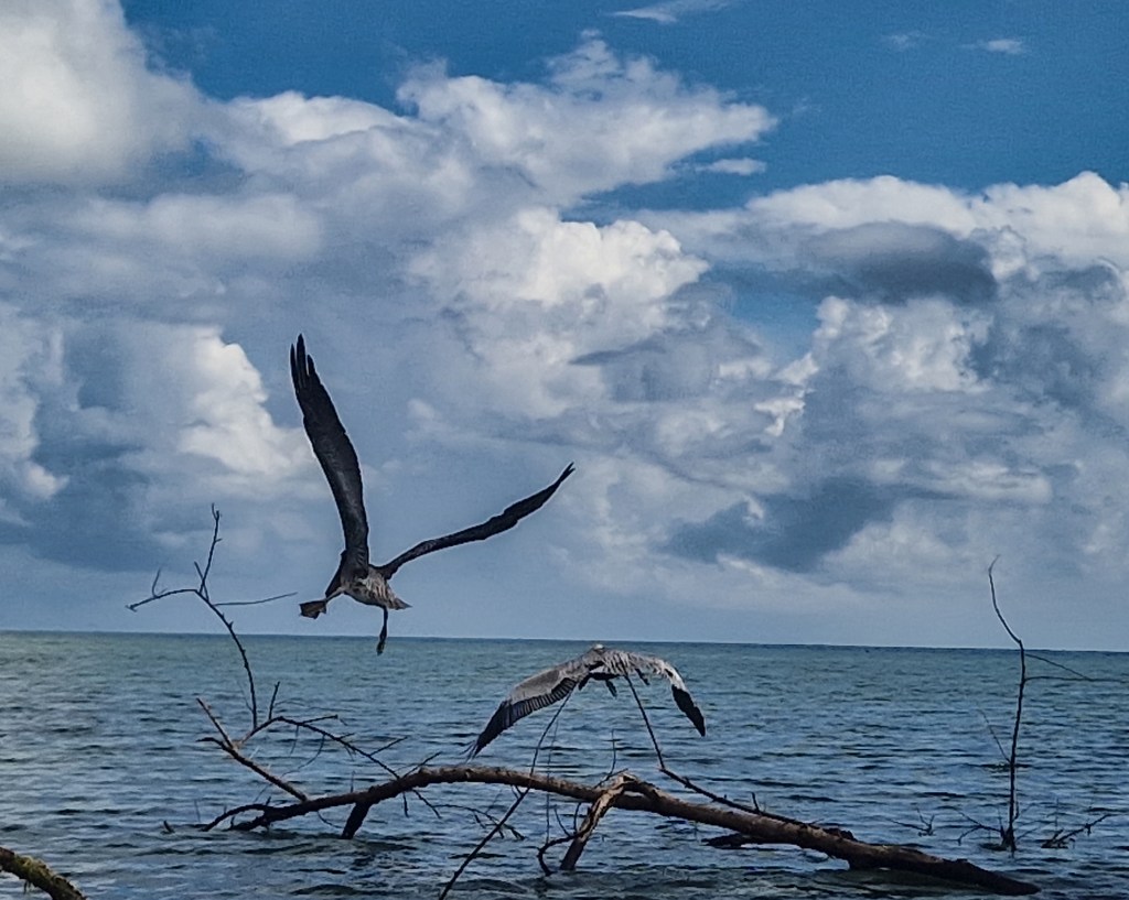
Before reaching the village of Sarstoon Bar, we discovered the shallow, sand-ridged mouth of the river from which it takes its name. Our canoe began to ground, and we welcomed the chance to stretch our legs after a long day’s rowing, wading through shin-deep warm water while pulling the boat behind us. The birds, too, took advantage of the shallows. A bright magenta spoonbill swept its head from side to side as it moved steadily through the water, sifting the mud for crustaceans. The air was busy with laughing gulls and frigatebirds; pelicans perched awkwardly on half-submerged logs, while white egrets stood elegant and static along the shoreline. Farther out, vast groups of black terns rested on the sandbar, lifting in unison as we approached, a rising, rippling wave formation, falling again to settle some few a hundred meters down the coast.
The water began to cool and deepen as the river spilled out to meet the sea. We clambered back into the canoe and followed the curve of the bank into the river’s mouth. The Sarstoon is broad here, though the Guatemalan Armed Forces base was distinguishable on the far bank. The two-storey building is of bright timber, matching the wharf that jutted out from its front, and decorated in trimmings of the Guatemalan colours. From this distance, it appeared well-kept and proud, the insignia mimicking the blue of the cloudless sky. In front of us, on the near bank, the counterpart of the Belizean Defence Force faced them across the channel. Perched squatly on the river’s edge, its black-and-grey camouflage was offset by a conspicuous, turquoise tin roof. It appeared ramshackle in comparison, dried palm leaves and netting tacked up to hide the weathered slats. A small group of soldiers were gathered on the jetty, fishing in an effort to pass the time.
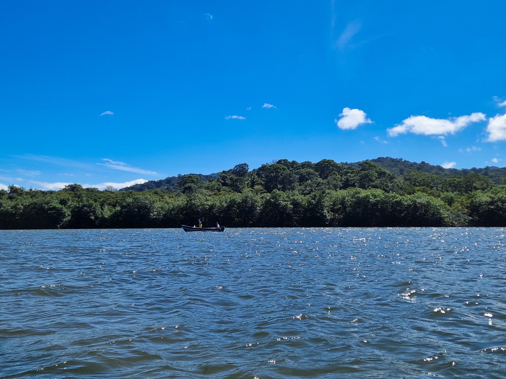
Between the two, a low, tangled island of mangroves sprawled across the river, obscuring the village of Sarstoon Bar behind it. We exchanged brief greetings with the Belizean soldiers as we passed and asked whether crossing to the Guatemalan side was tolerated. The noncommittal shrug we received in reply suggested they did not care. We decided to chance it; keeping close to the mangrove island, we followed its edge and slipped into the loose procession of small fishing boats returning from a day at sea, reaching the village unchallenged.
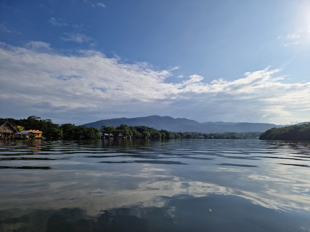
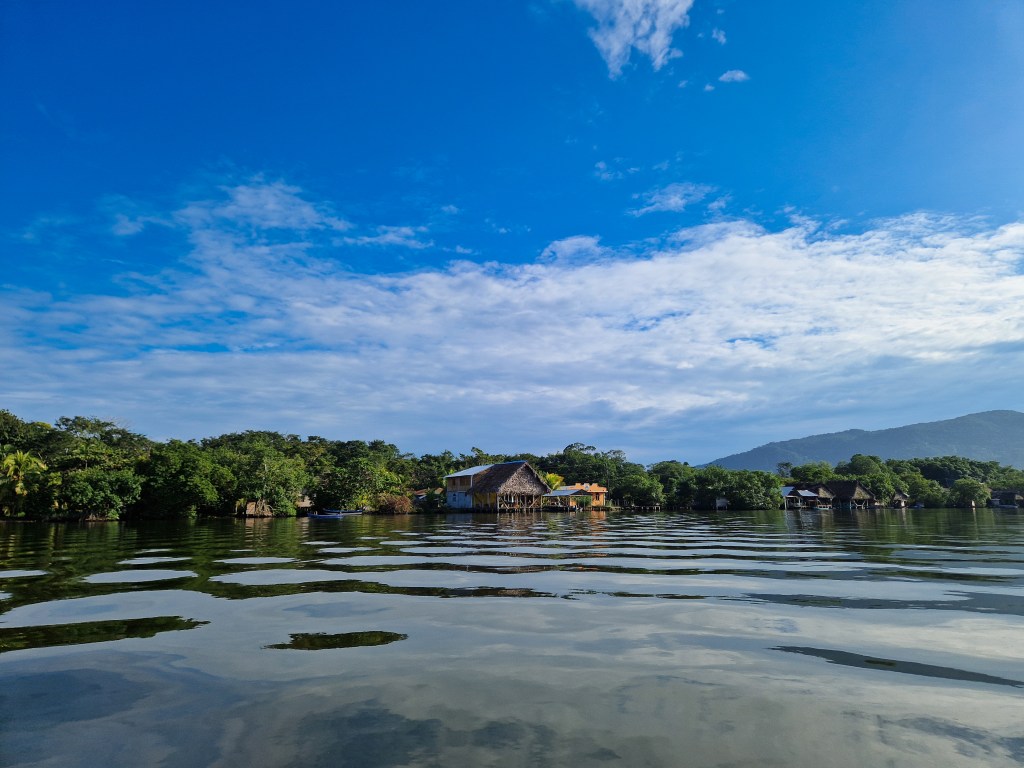
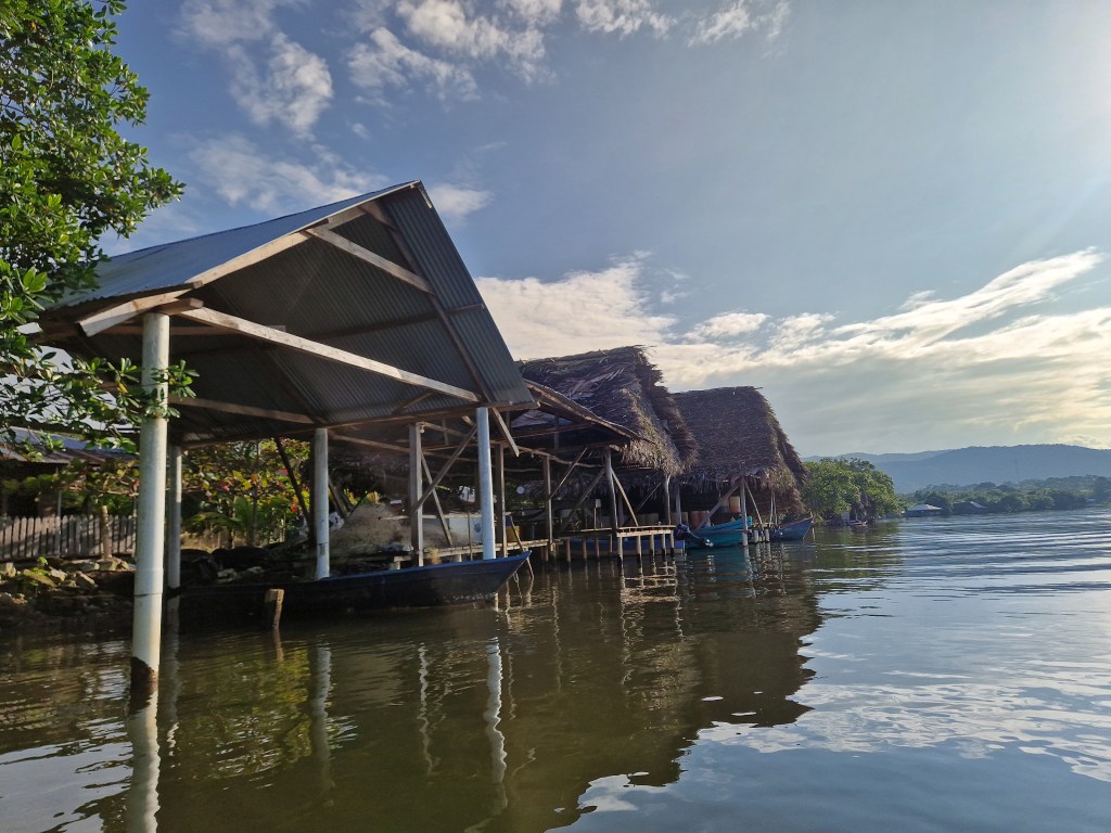
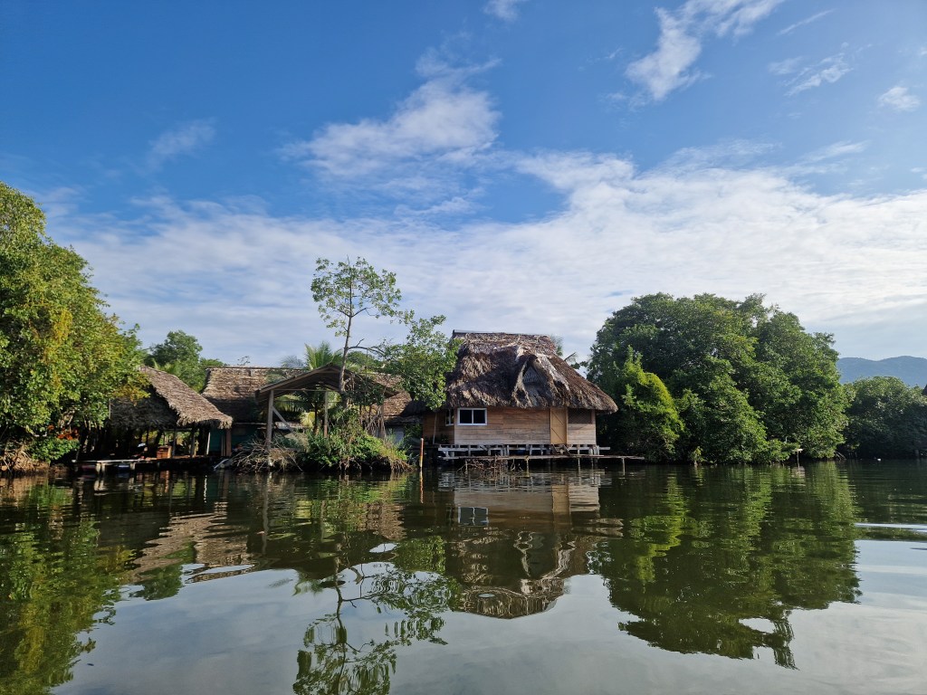
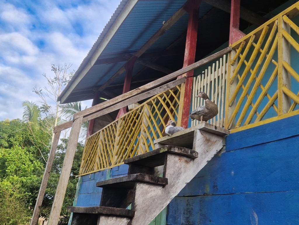
Low buildings of mixed concrete, planks, tin, and thatch stood with their open communal spaces hanging out above the water, supported by slender wooden stilts. Like a village of theatre stages facing the river, families enact their lives before passing travellers. The community stretches along the riverbank in what is, in this sense, a strangely visible way of life, despite its physical isolation. No road cuts through the surrounding jungle, and so no connection exists to the society beyond it. Perhaps it is this remoteness that has inspired such a communal arrangement, a way of offsetting any sense of confinement or alienation. Canoes bob beneath every platform; small boat sheds and wooden jetties sit at intervals, some warped and sun-bleached from years of use. The river itself is busy with traffic: Motorboats carrying fishermen home with heavy bundles of net coiled upon their bows, and narrow canoes gliding past as people move between homes, shops, and work. Even young children pass us in canoes, wielding oversized paddles – an action as natural as walking to those raised here.
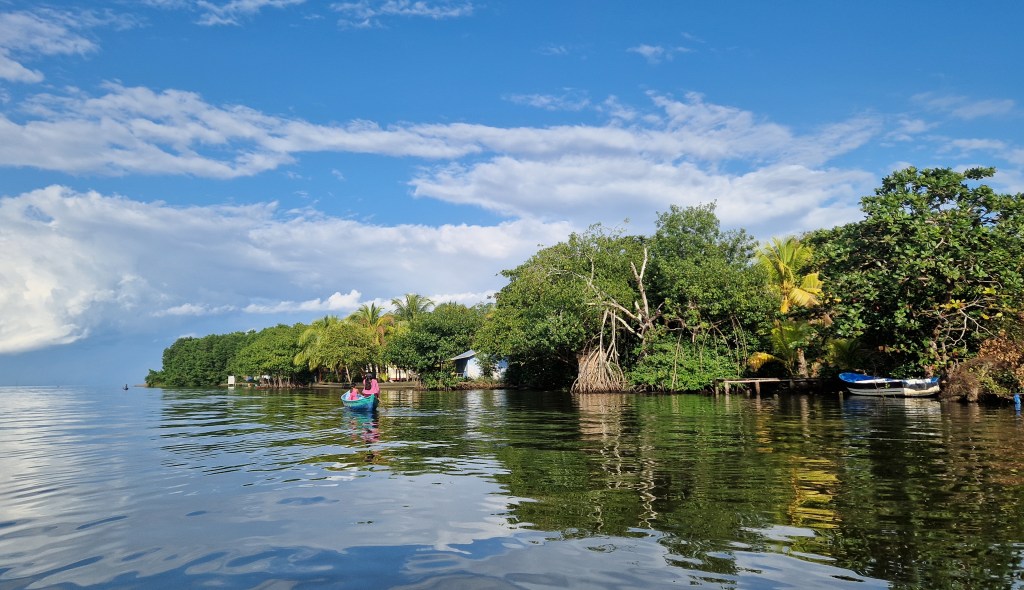
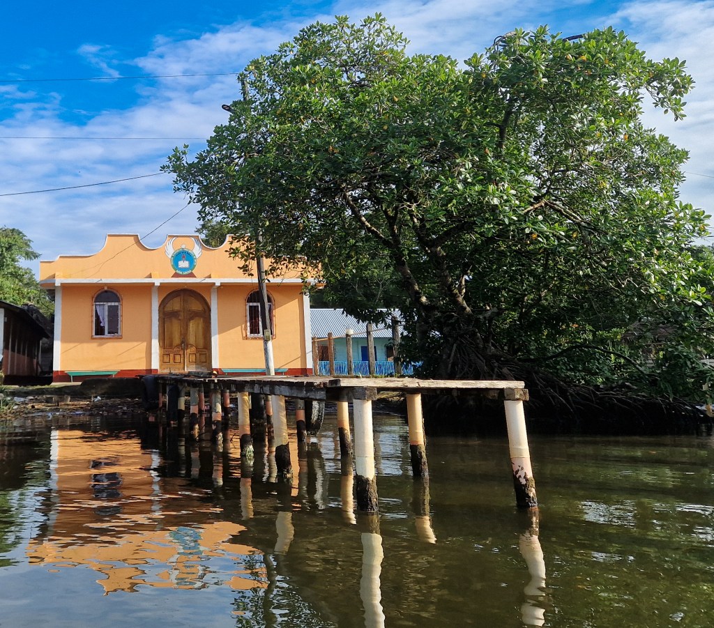
The houses cast long, wavering shadows across the surface of the water, as the late afternoon sun bathed a small coral-coloured church in a soft light. We stopped paddling in front of a white lattice fence, behind which an open veranda lay, furnished with a couple of tables and a small bar. Tossing our line ashore, we hauled ourselves up onto the ledge. We spent the rest of the afternoon there, sitting with bottles of Guatemalan beer as the light softened and the river slipped past below the veranda. The owner of the bar joined us and conversation moved slowly in our broken Spanish, punctuated by absurd gestures, and long pauses. We have come to expect kindness from the small villages that line the rivers and shores of Southern Belize, and across the border was no different. As dusk settled over the water our host cooked us dinner and told us we were welcome to hang our hammocks in her bar to sleep. When night fell, however, she reconsidered. Worrying that night would bring with it a chill, she ushered us into her spare room.
We left with first light and began our journey up the river. Running east-west from the Caribbean sea, the Sarstoon River marks the boundary between the nation-states of Belize and Guatemala. Or so some believe; others remain supporters of the theory that, upon the dissolution of the Spanish Empire, Guatemala inherited (some of) the land we now call Belize. This claim retains sufficient weight in Guatemalan political discourse that the matter is currently before the International Court of Justice. For those who disagree, the deepest channel of the Sarstoon is the precise border, since at least by 1859, when a treaty between Britain and Guatemala declared it so.
A peculiarity of this border arrangement is in the jurisdictional mismatch it creates. Gilnets, an indiscriminate and often wasteful fishing technique, are illegal in Belize; they are not in Guatemala. So travelling upriver, in the light of early morning, it was impossible to judge whether the operators of the motorboats passing us were criminals. A tangle of plastic nets bulging over their gunwales would not suffice to convict them, whatever the morality of the lawman, without knowing whether they fished north of the river’s deepest point.
Having accepted fish the night before, on Guatemalan soil, it felt appropriate only to observe without comment. Sarstoon Bar may bear some of the brunt of Belizean reaction to Guatemala, but its people have, at least in part, held views towards the exploitation of the ocean’s resources more complex than the criticisms often voiced from across the border suggest. Fishing here is not an abstract concern of policy or regulation, but a way of life: It is a means of feeding families, sustaining a community on a river that has supported settlement for generations.
Nonetheless, the community-led designation of the Sarstoon River Multiple Use Zone has introduced a framework of formal protection to the area immediately south of the river, attempting to balance conservation aims with continued human use.
We noticed what was perhaps a happier outcome whilst studying the Belizean shore. There were few indents into the vegetation here, which meant few areas where illegal logging, a chief concern amongst the public, was plausibly being conducted. This activity is prominent in the narrative of unsustainability so often encountered in Belize. It is assumed to be an issue ever-descending into worse outcomes, the eventual consequence being the irretrievable loss of hardwoods near the border. There is, as most will admit, a lack of evidence; conservation scientists are unable to monitor the problem, and accordingly fear the worst. Doubtless the problem still exists. But those who have studied the reality on the ground – those who are regularly in the area – have told us that illegal logging, at least, has decreased.
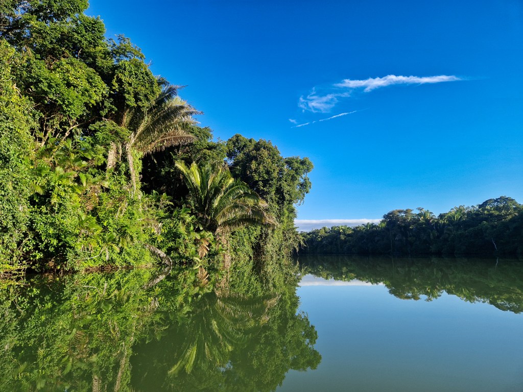
There is less agreement on the traffic of narcotics. This is one of the activities gratefully unseen on our trip. Though, this means there is no comment worthwhile making as to the truth of the rumours. Those rumours – that the dense Toledo forests are crawling with smugglers, their bi-planes landing at opportune river entry points across the district – might be supported by satellite imagery, showing straight strips cut from the remote jungle. But the rumours are perhaps best left as just that, undiscovered by travellers ill-prepared for drug warfare.
Any actual tension, though, had been visible only in the military infrastructure at the river’s mouth, and we had elapsed into a habit of paying it no mind. Our trajectory was now set close to the southern bank, where the last of the shade formed a thin navigable band whilst the midday sun hammered the rest of the water’s surface. It had been calm as the heat reached its climax, our thoughts broken occasionally by our own quiet conversion, and we roved as we pleased across the wide Sarstoon.
A guttural churning of water gave away the approach of a motorboat, moving at speed. The air was still; its roar came on suddenly, but heard from some distance on a day such as this. It fluctuated slightly with movement, navigating bends of the river in minutes where it would take us hours, but steadily closer it droned, before roaring around the corner into view. A dirty green colour, a camouflaged crew; and then another boat wheeled behind it, sending a second surge of foam as it turned on the same course. A flag flew above each vessel, both pinned backwards by the air resistance. The front-runner, a field of dark blue, trimmed with red, and heraldry adorning the centre; the second sported sky blue broken by white. Symbols of nationality. But seen in this succession upon the Sarstoon, they have come to symbolise an uneasy atmosphere. We were seeing a high-speed patrol, instigated by one military, to which the other had responded. It was a scene of intimidation and control that had burst into life from a prior serenity, and indeed the parade plunged onward as swiftly as it had arrived, heedless of our position. The engines’ growl lagged behind our backs, and we were soon left only with the ripples. We have heard first-hand of the intimidation tactics employed here. A military craft blockading the passage of a civilian vessel, or tailing them aggressively; or villagers halted on their own lands, berated for crossing a border far before its agreed position. The almost routine demonstration of political angst we witnessed made these occurrences far easier to believe.
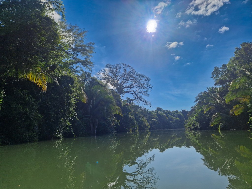
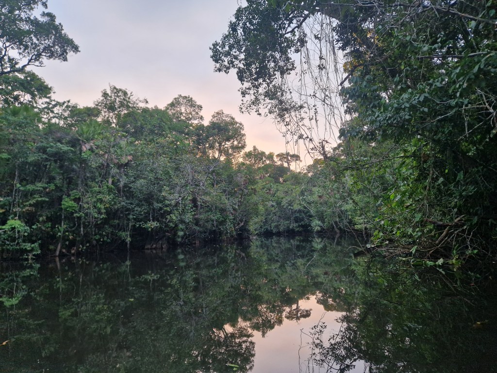
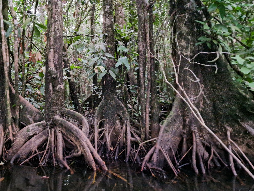
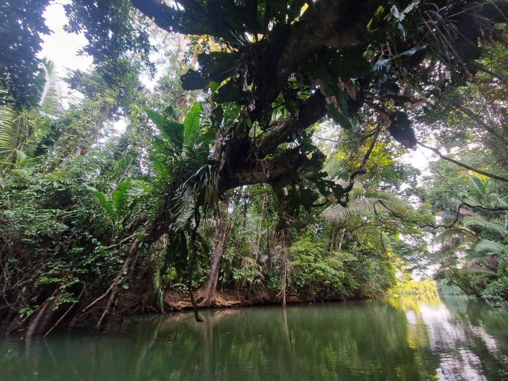
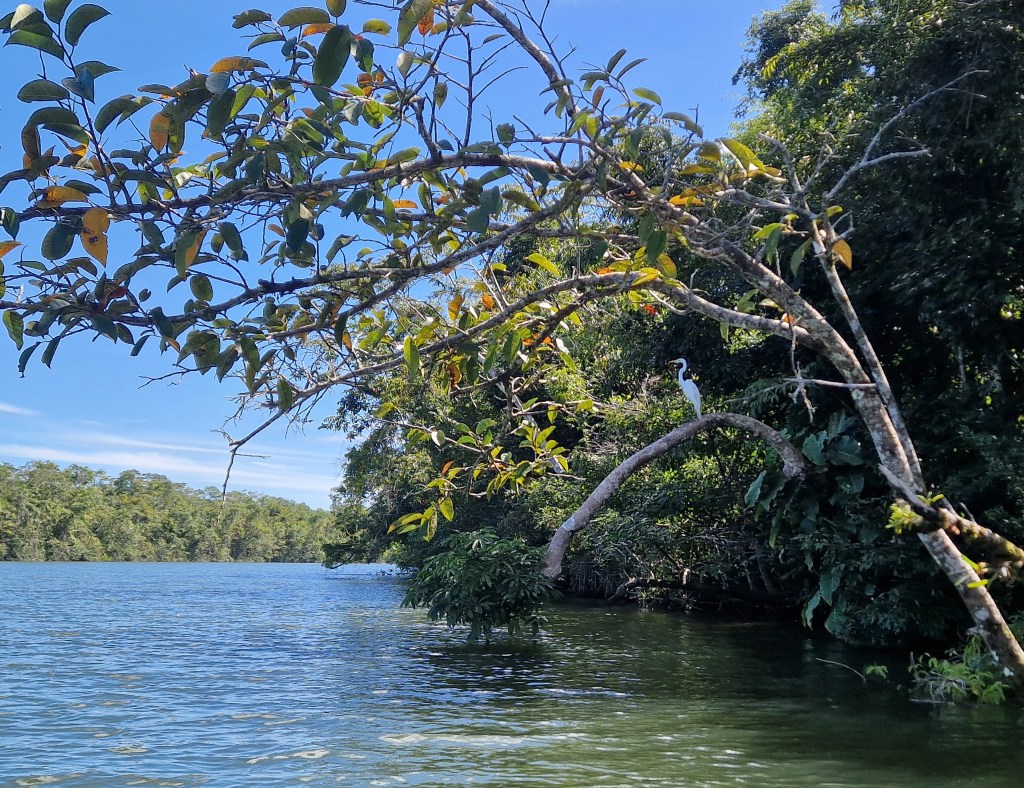
The moment we turned into Graham’s Creek, the fierce mid-afternoon sun was cut off, as if a curtain had been drawn. The air cooled and thickened, with a musky, organic scent. We followed the creek as it narrowed and wound tightly beneath an arch of branches, vines hanging down in loose coils that brushed the surface of the water. Shafts of sunlight pierced the canopy, catching drifting leaves and casting fleeting golden patterns on the dark water. Along the banks, great buttress roots rose and folded back on themselves, curling and twisting like molten rock. Flashes of movement and colour periodically caught our eye; Kingfishers skimmed the surface in brief, silent arcs, before settling on low branches, and the occasional butterfly flutterted past, flashes of blue against the muted greens of the mangroves. Beneath us the water appeared intimidating, dark and still, its surface disturbed only by the slow release of bubbles from unseen creatures below. To emphasise the slight eeriness of the scene, somewhere deep in the canopy, the distant howl of monkeys echoed, growing louder and more insistent as we proceeded, beckoning us onwards.
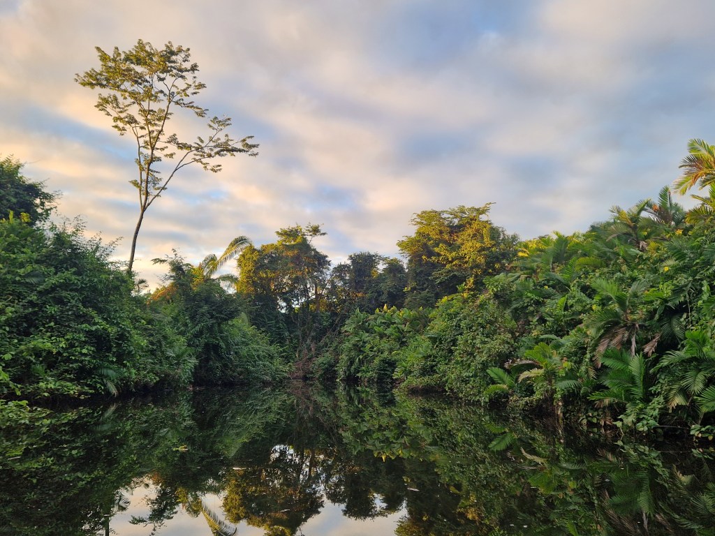
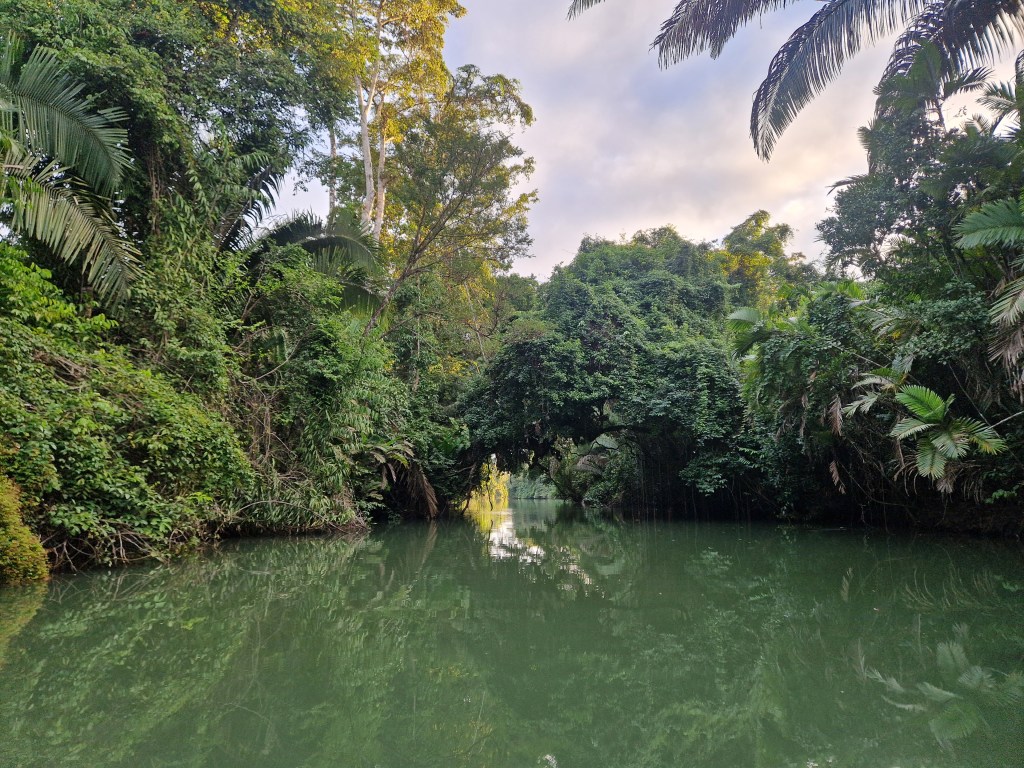
As we approached, the creek narrowed into a channel too thin for our oars, and we were forced to push forward from the banks on either side. We hauled the canoe clear of the water and onto the thick sludge of the riverbank. From there, a gently rising track led towards the village, pastureland spreading out across on either side.
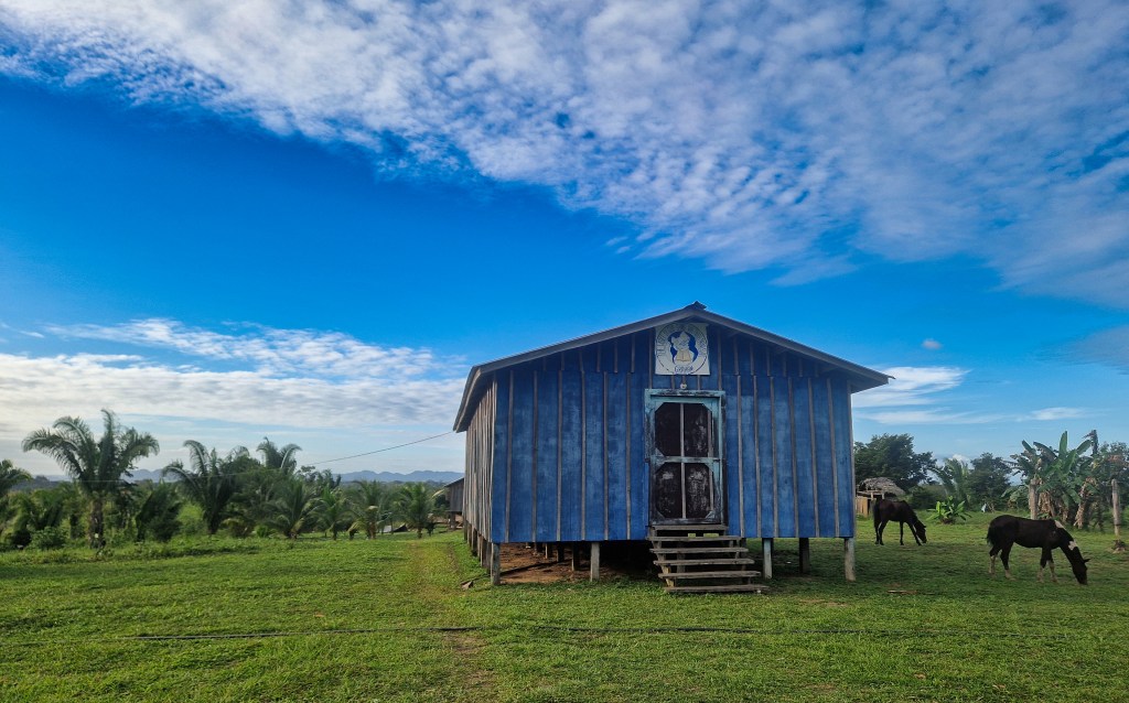
The village is spread out and secluded, a small collection of colourful wooden houses scattered along a web of well-trodden paths in a broad clearing cut from the jungle. The distance between homes in this hilly country screens them from one another, heightening the sense of isolation. Although Graham’s Creek lies only a short rise above river level, this elevation affords a striking view across the surrounding land. In the foreground, animal-strewn pastureland slopes gently away from the village; beyond it, dense jungle closes in, the top of its canopy looking like a patchwork quilt in various shades of green. Further still, the vast, undulating forms of the Maya Mountains rise on the horizon, silhouetted against the setting sun. At the centre of the village stands a faded blue wooden church set on short stilts, a weathered pink schoolhouse with the Belizean flag flying proudly outside, and an open space where two goals—thin tree trunks fastened together—mark out a football pitch. Beside it lies a pile of breeze blocks and wire, the beginnings of a new school.
The view demands attention, but after a while we came to appreciate the lingering quiet. Without the interruption of engines or traffic, sound carried clearly; the occasional lowing of cattle, birds calling as they settled to roost, the rustle of a breeze through the trees, the chatter of villagers. In the fading heat, the village settled into quiet rhythm. People moved through the village on foot or horseback, unhurried in their evening tasks. A small child scrambled up the low branches of a fruit tree, heaving himself onto the back of a horse that towered above him, before riding towards the pasture. As the heat ebbed, insects filled the night air, smoke rose in curls from the cooking fires, and children ran in from the fields. Crossing the football pitch, speckled now with the tiny lights of fireflies that mirrored the star-strewn sky above, we returned to the home of a friend where we would spend the night.
Graham Creek village is unequivocally beautiful. It is also remote; it can be surprising, therefore, to see the help of various organisations, their logos visible throughout the settlement, that has been graciously received by the villagers. Understanding the development of new infrastructure here is helped by the knowledge that the village is, despite the atmosphere of tradition and stability, very recent. Its people are Q’eqchi’, and share the general story of migration from the Guatemalan highlands to Belizean lowlands in various movements throughout the past centuries (during which the Q’eqchi’ people, who already shared ancestry and had close relations with the original peoples of southern Belize, adopted also many of their customs, representing a genetic and cultural continuation of the population here – albeit with a language derived from elsewhere). But the people of Graham Creek migrated to this village only in the final years of the 1900’s, and as such, elder members of the village are also its founders. Before arriving here, their history was coloured by the eviction so typical of enclosure and colonialism, across generations and over large geographical tracts. It is incredible to think, as we conversed with one such founder on the balcony of his house, that everything we could see was uninhabited when he arrived.
The people are resilient for this reason, but this does not inhibit their hospitality, nor their humour. Graham Creek is a village of abundant joviality, never far from the next joke. It is also industrious, with members of the community regularly coming and going for business. Much of this business involves the Sarstoon river, accessing communities in the higher reaches, travelling to the coast, and across the border. Despite its apparently remote location on foot, day trips by boat are possible to various locations, embedding Graham Creek in a large network of watershed communities. In this sense, life here feels more reminiscent of an older pattern of settlement, the river structuring movement, exchange, and daily existence. It is a way of living in which the river is not a boundary, but a connective route through the landscape.
We set off ourselves upon that route once more, back towards the sea. But there was something we had to see along the Sarstoon’s course, first. Obscure reading had hinted at something exceptional tucked away in the hostile depths of jungle that lined the river; the language was cautious and the maps fragmentary, but the implications were quietly extraordinary. Concealed behind the impenetrable wall of mangroves that line the Sarstoon, lies a lowland tropical Sphagnum-dominated bog, the only confirmed ecosystem of its type in the world.
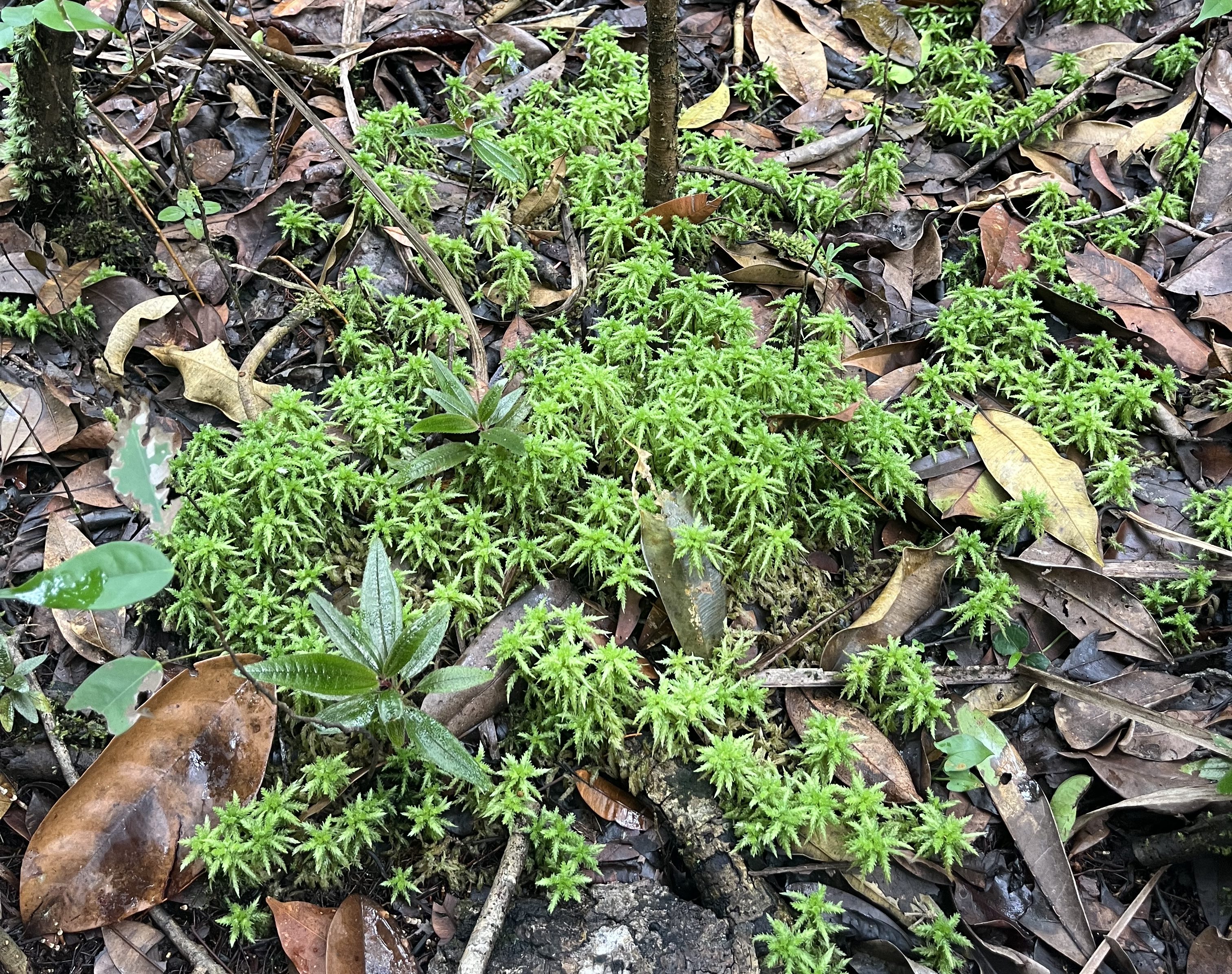
We pulled our canoe into a small clearing on the bank, as close as feasible to the supposed site, and picked our way along the path of least resistance into the depths of the forest. Any illusion of a path was soon swallowed up by the jungles’ new growth, and we were forced to swing machetes as we crashed and stumbled through, not entirely sure of the direction in which we should be travelling. The trees gradually thinned, giving way to low, scraggly shrubs, and the ground began to yield underfoot, assuring us we were getting closer. The sphagnum moss appeared in delicate patches at first, thin green stems poking out of the soil. But as we pressed further, the carpet thickened — bright neon green in sunlit spots, deeper olive in shade. Threaded between the moss, clumps of tough sedge formed small islands.
Up close the moss is beautiful, like a snowflake in its intricate complexity. The ecosystems visible from the Sarstoon River are ostensibly magnificent— red mangrove swamps, lush tropical broadleaf forest, winding freshwater channels. But this sight offered its own unassuming allure, perhaps in part because we were aware of the true extent of the landscape’s value, buried beneath this living blanket.
Sphagnum moss is exacting in its chosen landscape, favouring cool, acidic, and nutrient-poor conditions, making it an unlikely candidate to thrive in the lowland tropics. But, incredibly, some thousands of years ago, the right conditions for sphagnum to dominate developed where we now stood, and its persistence through millennia of climatic shifts is even more remarkable.
Although the distinction between sphagnum and non-sphagnum bogs might seem arbitrary, it is anything but. Sphagnum is a master of its surroundings—acidifying the soil, holding water, and slowing decay to a near standstill. It is the architect behind some of the planet’s most effective carbon stores. And yet here it seemed to be at work in the tropics, a place where there’s an abundance of biomass… But warmth and moisture usually speed up decomposition to the detriment of stable carbon stores; effective peatlands are defined not by how much they produce, but by how little they lose. Beyond its ecological novelty, finding that same mechanism operating in a tropical system represents a potentially powerful fusion; the high productivity of the tropics and the slow decomposition of sphagnum wetland. A recipe, in short, for a substantial and stable carbon sink.
And yet, its very obscurity is a warning. Globally, habitats are being destroyed before they are discovered. An ecosystem this rare, ancient, and scientifically valuable went undocumented until last year and remains only partially understood now.
On another site mapped from satellite imagery, we pushed through dense jungle only to find a tree-dominated wetland, characteristic of the tropics. It is possible, probable even, that what lay before us was never home to that finicky moss. But we couldn’t escape the possibility that such a fragile ecosystem, existing right on the edge of possibility, had already succumbed to the pressures of a changing climate.
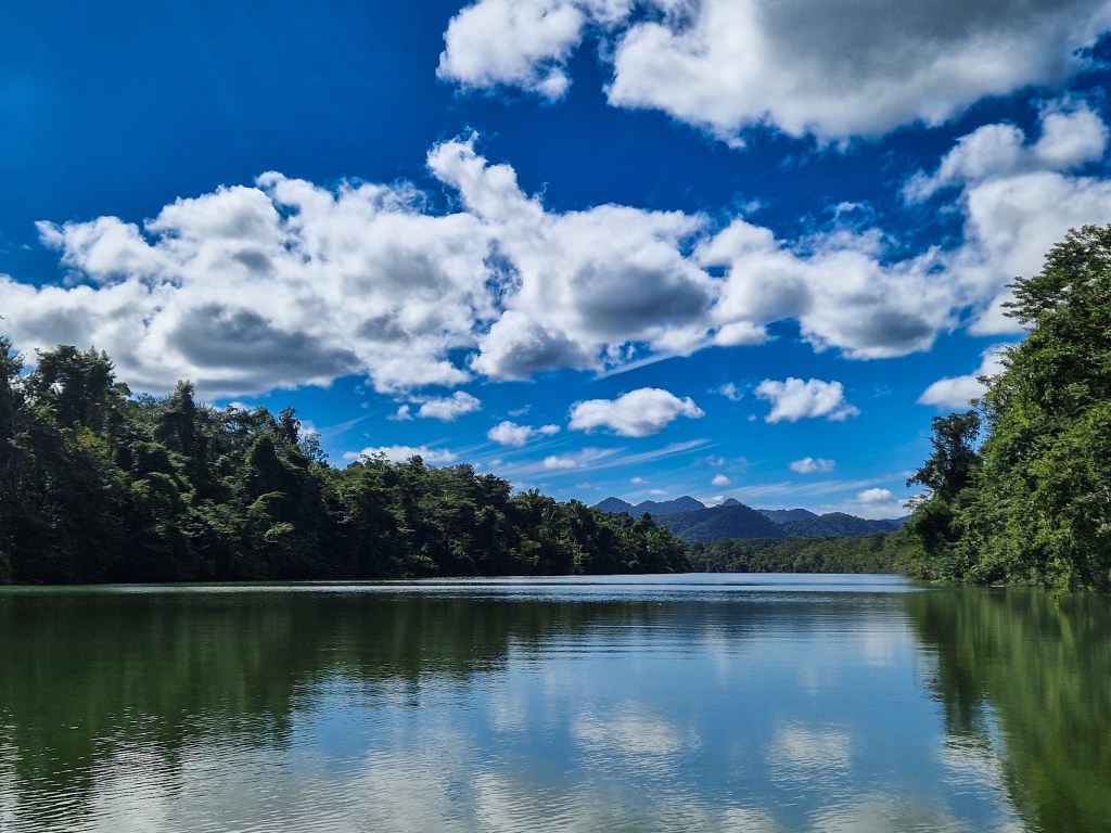
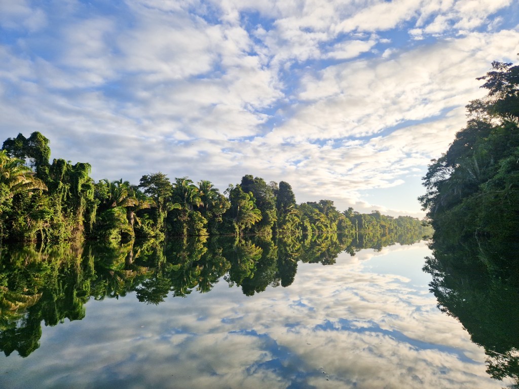
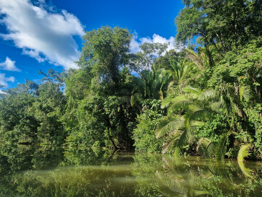
Whilst designation as a national park implies long-term protection, in practice the Sarstoon-Temash region exists as a contested landscape, where conservation objectives coexist uneasily with extractive interests. The presence of oil exploration within its boundaries highlights the limits of formal protection, exposing ecologically sensitive systems to disturbance despite their recognised value. Such designation is revealed as a farce when economic interest nullifies it, permitting the kind of deleterious activity that it claims to protect against. Ecological outcomes can often feel so distant, but the destiny of this unique landscape lies unmistakably in the decisions of human beings.
The Sarstoon is a zone of conflict, a geographical place upon which has been superimposed the flaws of mankind’s global design; and when the river itself is peaceful, yet the thought of it in the abstract is enough to disquiet the nearby public, to bring to their memory the proximity of that frontier beyond which lies a not-quite definable malice.
But our journey demonstrated that it can be elsewise; on the fringes of public opinion, those who live upon the river, who know its secrets, its wildlife, and its communities, perceive it not as the friction plate between two states, but as the provider of food and the means of transportation. Could their version of the Sarstoon prevail? Perhaps the strange historical process that led to this point can be reversed. In answer, we need not look only backwards in time, but focus on the realities of local people. Living peacefully and without prejudice throughout the watershed, these people quietly harness the river for its power of connectivity.


Leave a Reply